
Sharing your data — connecting your ship observations to the world

From ship to global systems

Every observation collected at sea becomes part of a global data system that supports weather forecasting, climate monitoring, and maritime safety services.

For over five decades, ship-based observations from the SOT networks have been transmitted in near real-time via the WMO Global Telecommunication System (GTS). Today, this system is evolving toward the WMO Information System WIS2.0, enabling faster, more flexible, and more accessible data exchange worldwide.

Whether you operate a Voluntary Observing Ship (VOS), an ASAP vessel, or an OceanTraX platform, your data follows a defined pathway — from onboard instruments to global users.

From ship to shore — the data flow

1) Observation at Sea

Ships participating in SOT networks collect observations using certified instruments and standard practices:

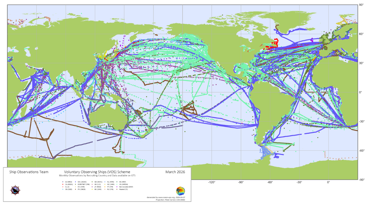
  • VOS (Voluntary Observing Ships) — Surface meteorological observations
  • ASAP (Automated Shipboard Aerological Programme) — Upper-air profiles via radiosondes
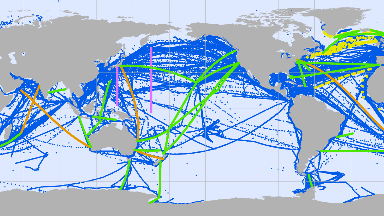
  • OceanTraX (formerly XBT SOOP) — Upper-ocean temperature

These observations are recorded either manually by trained crew or automatically via onboard systems.

2) Encoding and Formatting

Before transmission, observations are encoded into standardized formats to ensure global interoperability: traditional alphanumeric formats (FM codes such as SHIP, TEMP SHIP, BATHY, TESAC), and increasingly, BUFR (Binary Universal Form for the Representation of Meteorological Data).

These formats ensure that receiving systems can interpret and process the data consistently.

3) Transmission from Ship

Observations are transmitted from ships using satellite communication systems, most commonly:

  • Inmarsat-C
  • Iridium and other satellite services
  • Ship email communication system

Transmission is typically handled automatically or via onboard communication software provided by national meteorological services.

4) Distribution via GTS

Historically, all SOT observations are routed through the Global Telecommunication System (GTS):

  • Data is grouped into bulletins using standardized headers
  • Bulletins are transmitted across a closed network of meteorological centres
  • Observations reach operational users within minutes

These headers are used to ensure the correct identification and routing of messages within the global system, as specified by the relevant National Meteorological Service. The official list is maintained by the SOT Task Team on Instrument Standards and Satellite Communication Systems.

→ Access the list of GTS bulletin headers used by SOT networks →

5) Transition to WIS2.0 (Current and Future)

SOT data is now progressively transitioning to WIS2.0, the next-generation WMO data-sharing framework.

Under WIS2.0:

  • Data is published to topics instead of bulletin headers
  • Users can subscribe to specific data streams
  • Data becomes discoverable through the Global Discovery Catalogue
  • Open web standards replace closed communication networks

This transition enables broader access, especially for developing countries, research institutions, and new users.

The following resources support the WIS 2.0 transition for SOT participants and national meteorological services:

6) Submitting data to the GDACs

Submission requirements for national VOS Program Managers:

  • Data must be quality controlled in accordance with WMO Minimum Quality Control (MQC) guidelines before submission. The current standard is Minimum Quality Control Standards-7 (MQCS-7). MQC software (MQC-5) is available from WMO.
  • Data must be submitted electronically each quarter in International Maritime Meteorological Tape Format (IMMT-5) format to both Global Data Collection Centres. Programme Managers should advise the GDACs when data are available.
    • GDAC Germany (DWD) — send an email to gcc[at]dwd.de
    • GDAC United Kingdom (UK Met Office) — send an email to gcc[at]metoffice.gov.uk

Safeguarding everyone passing the water

Every transmitted observation contributes to more accurate weather forecasts and early warnings, safer navigation at sea, improved climate monitoring and research, and better understanding of ocean-atmosphere interactions.

Through your ship, millions benefit from safer seas, better forecasts, and informed decisions—every single day

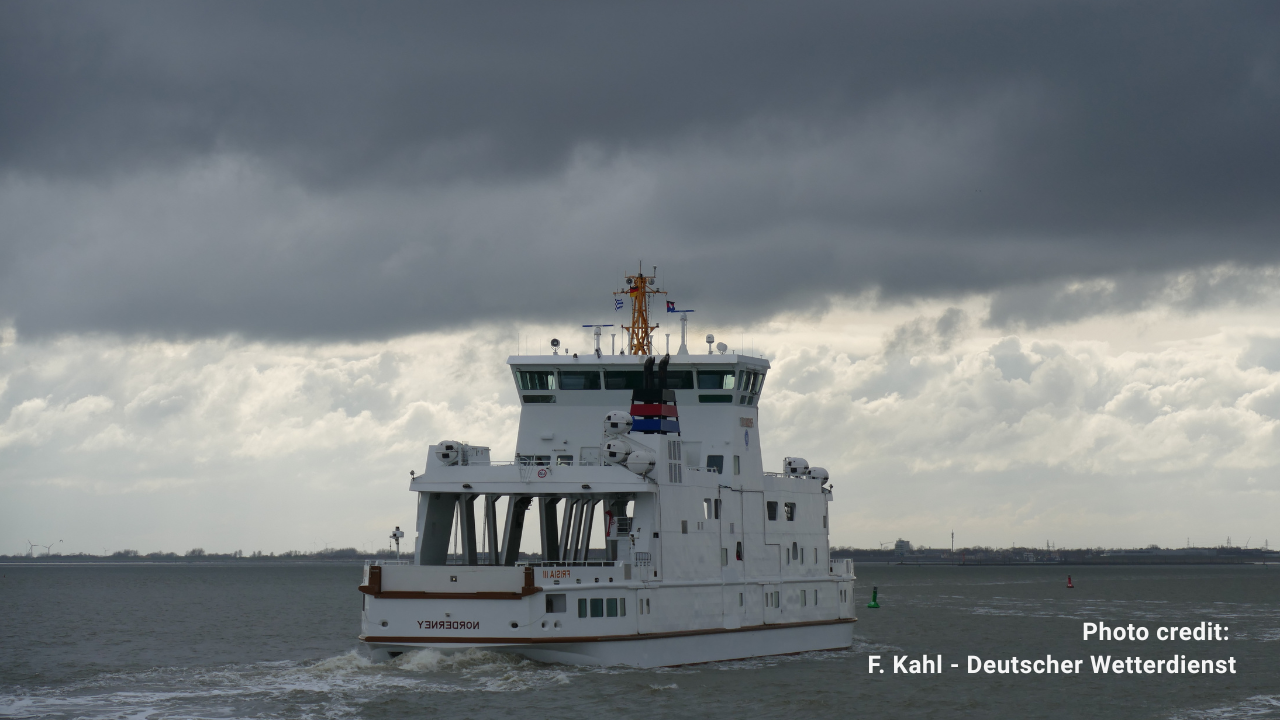
A ship bracing storm

Related articles