


ASAP — lifting the lid on the atmosphere above the open ocean

The Automated Shipboard Aerological Programme

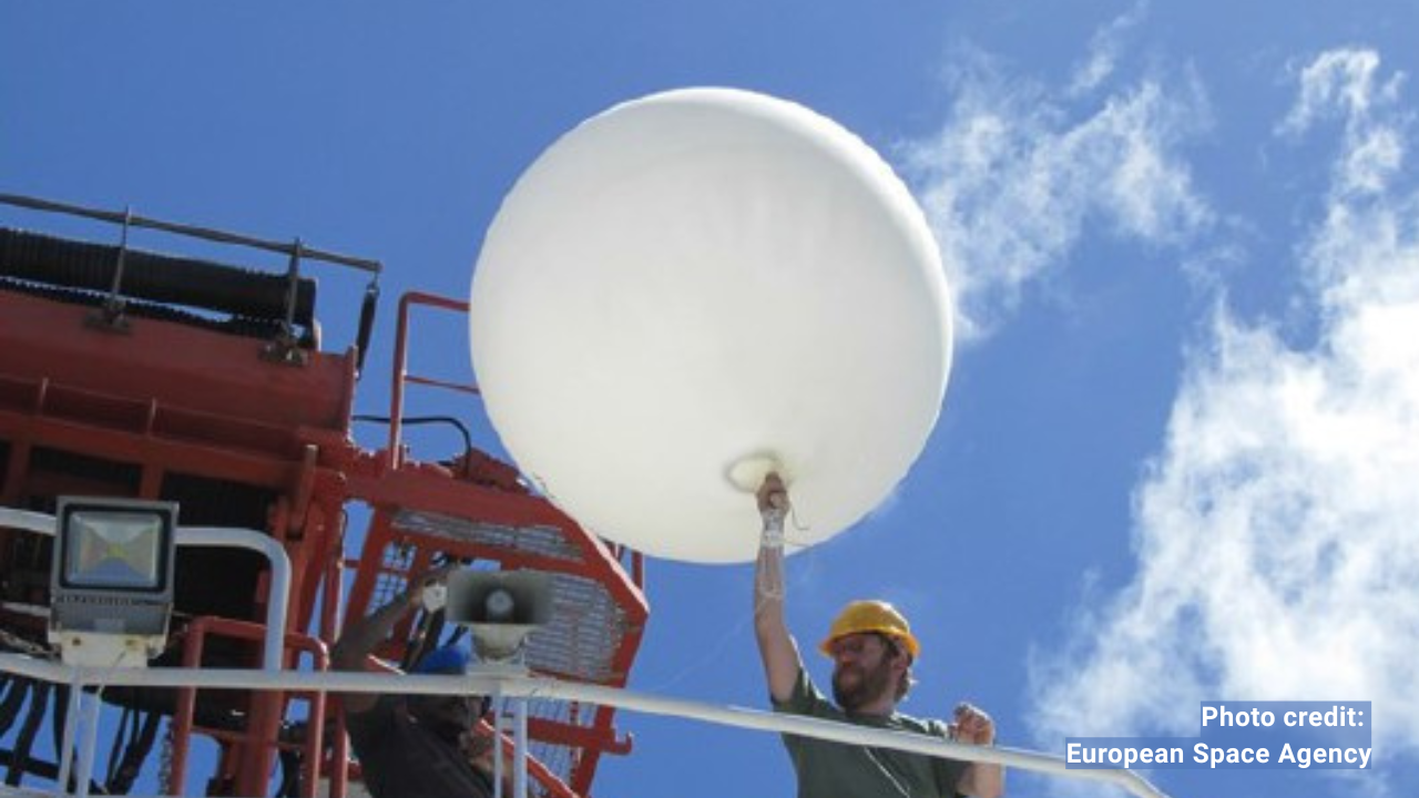
photograph of a weather balloon launch from a ship's deck

Weather at the surface is only part of the story. The atmosphere extends upward for hundreds of kilometres, and understanding its vertical structure is essential for accurate weather forecasting, aviation safety, and climate monitoring. On land, networks of radiosonde stations launch weather balloons twice daily, building the upper-air dataset that global models depend on. Over the open ocean, those networks simply do not exist.

The Automated Shipboard Aerological Programme (ASAP) was designed to fill that gap. Since the mid-1980s, ASAP has placed automated upper-air sounding systems aboard merchant ships travelling regular ocean routes. From those ships, trained operators — often the ship's navigating officers — launch radiosondes tethered to helium-filled balloons that rise through the atmosphere, transmitting temperature, humidity, pressure, and wind data all the way to altitudes of around 30 kilometres.

The data are encoded and transmitted in near real time to national meteorological services, and then distributed globally on the GTS. Around 5,000 soundings are collected annually, primarily over the North Atlantic.
→ Download ASAP brochure (PDF) →

Why upper-air data from ships is irreplaceable

~5,000

upper-air soundings collected annually

~21

ASAP ships currently operating globally

Up to 30 km

the altitude of soundings reach well into the stratosphere

Weather forecasting depends on knowing not just what is happening at the ocean surface, but what is happening throughout the atmospheric column above it. Pressure systems, jet streams, fronts, and upper-level troughs are all captured by upper-air soundings — and the accuracy of numerical weather prediction models is directly proportional to how well the three-dimensional atmosphere is observed.

Over the North Atlantic — the primary region of ASAP operation — the absence of land-based upper-air stations means ships are the only source of in-situ vertical atmospheric profiles across millions of square kilometres. The European ASAP programme, operated under EUMETNET, maintains a fleet of 12 commercial vessels and 4 government ships that are focused on this critical region. The ASAP is also expanding into other ocean basins, extending coverage to the data-sparse areas of the South Atlantic, Indian Ocean, and Pacific.

ASAP data quality is consistently high — comparable to data from dedicated ocean weather ships, with sounding heights regularly exceeding 20 kilometres. Real-time satellite data transmission ensures that ASAP profiles reach global users as reliably as any land-based upper-air observation.

How ASAP works — the technology

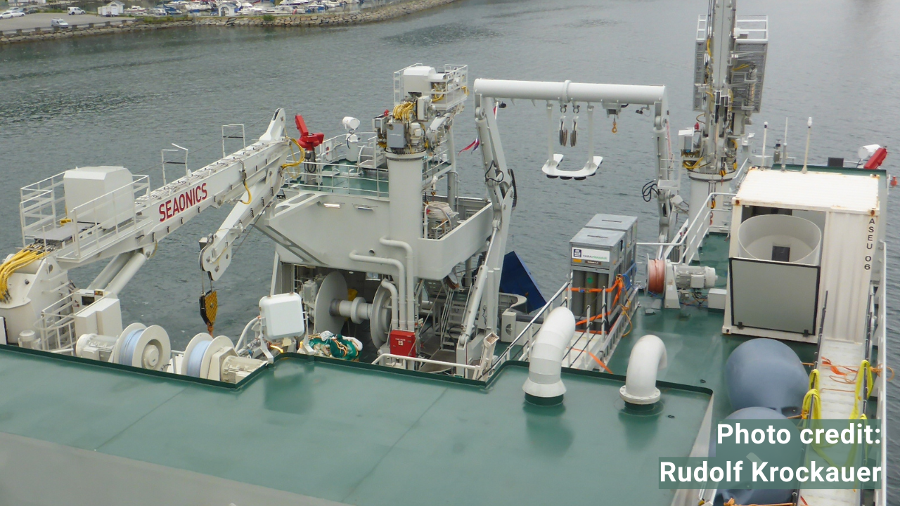
ASAP systems come in two principal configurations. The original modular containerised system houses all ASAP equipment — launch mechanism, ground station electronics, helium gas pallets, radiosondes, and balloons — within a 20-foot shipping container installed on the host ship's deck. This provides a self-contained, weatherproof observing facility that can be moved between vessels with minimal disruption.

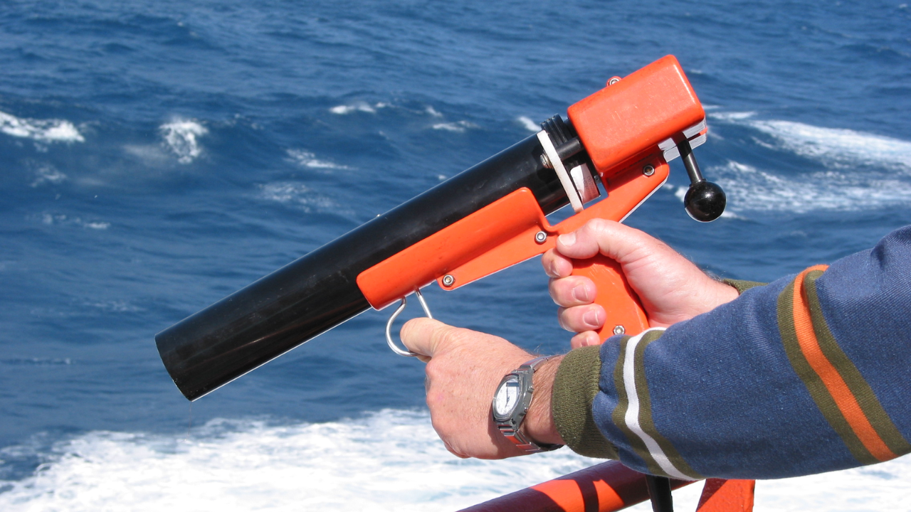
The more recent distributed system separates the balloon launch mechanism from the ground station electronics. A compact 10-foot container, or a dedicated portable deck launcher, is used for balloon launches. The ground station, which is usually a PC-based system, is installed in the ship's wheelhouse. This configuration is more flexible and can be adapted to a wider range of vessel types.

In both configurations, radiosondes transmit data to the ship's ground station as they ascend, which processes the profile, formats the message in TEMP code, and transmits it to shore. The process requires at least two ascents per day on ocean passages; in particularly data-sparse areas, up to four ascents may be requested.

Future aims

The ASAP network is focused on sustainable growth and adaptation. Key future aims include: expanding into new ocean basins with new partner countries; encouraging joint ventures for new ASAP observing networks; continuously developing more cost-effective communication and data transmission systems; improving the design of automated and deck-based balloon launching devices; implementation of radiosonde observations during descent; and providing best-practice advice and support to new ASAP operators.

International coordination of ASAP is managed through the ASAP Panel under the Ship Observations Team. The ASAP Panel coordinates the global implementation and operational monitoring of the Automated Shipboard Aerological Programme to ensure high-quality data processing. They manage resource contributions for system procurement, promote network expansion, and facilitate the exchange of technical information regarding meteorological instrumentation. Additionally, the panel maintains up-to-date documentation within GOOS publications and prepares annual reports on operational status and data availability.

Related articles