SOT Metadata — the foundation of reliable ship-based observations

Metadata — why it matters as much as the data itself

An observation is only as useful as the information surrounding it. When a ship reports a sea surface temperature of 18.5°C, the scientific value of that measurement depends entirely on knowing which instrument recorded it, how that instrument was calibrated, where exactly on the ship the sensor was mounted, and what the ship's position was at the moment of observation. Without this contextual information — metadata — the data cannot be correctly interpreted, quality-controlled, or assimilated into models.

The SOT, through WMO and WIGOS (WMO Integrated Global Observing System), maintains internationally agreed metadata standards for all ship-based observing platforms. These standards ensure that the global archive of ship observations can be interpreted consistently by data users — from operational forecast centres to climate researchers working decades in the future.

All active VOS ships, ASAP platforms, and OceanTraX vessels are registered in the OceanOPS Metadata Database, which serves as the authoritative global registry of SOT observing platforms. National VOS Program Managers and PMOs are responsible for keeping their national fleet records in OceanOPS accurate and up to date.

WIGOS Metadata Standards

WIGOS provides the overarching framework for metadata across all WMO observing systems, including ship-based platforms. The WIGOS metadata standard defines the minimum set of information that must be recorded for each observing station or platform — including ship identification, operator details, instrument type and calibration, sensor height and exposure, and communication method.

For SOT platforms, WIGOS metadata requirements are operationalised through the WMO Station Identifier (WIGOS Station Identifier, WSI) system, which provides a unique, persistent identifier for each observing platform. PMOs are required to collect the full WIGOS metadata set during recruitment visits and update records whenever equipment changes occur.

Resources:

WMO Publication 47 (Pub47)

WMO Publication 47 (International List of Selected, Supplementary and Auxiliary Ships) is the specific metadata standard for VOS ships. It is legacy format used before the WIGOS compliant metadata format. It defines the format and content requirements for ship metadata submitted to WMO by participating national meteorological services.

Metadata submitted via Pub47 includes: ship name and call sign; ship type and flag state; recruiting country and NMS; instrumentation details for each measured parameter; sensor heights; anemometer type and exposure; and barometer details including calibration dates.

Resources:
OceanOPS Metadata Database

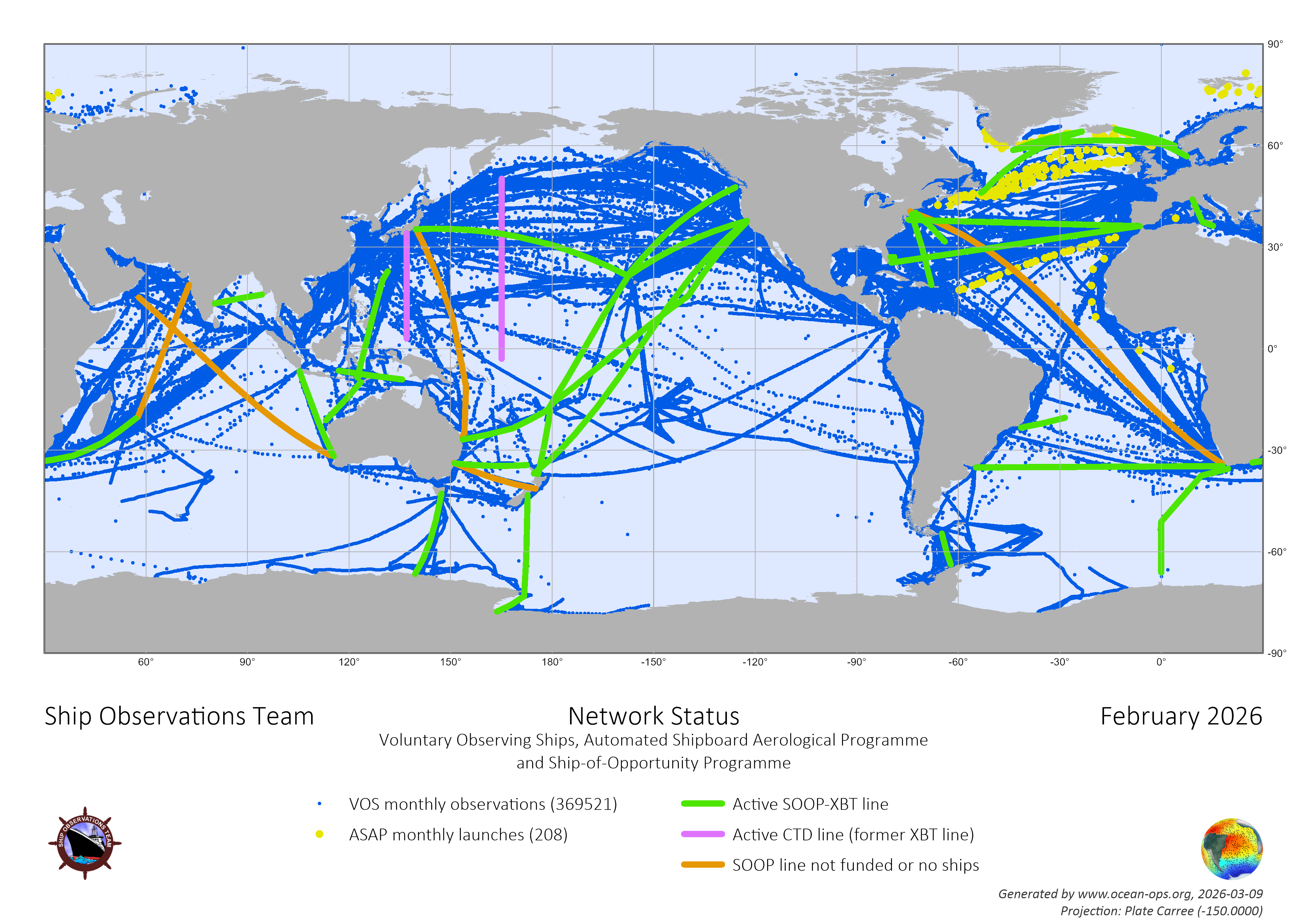
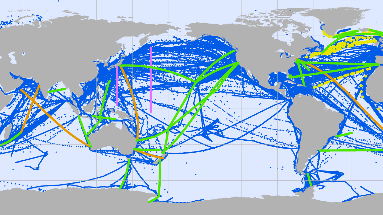
a sample map of oceanops

OceanOPS — the operational centre of GOOS — hosts the live metadata database for all SOT platforms. The database records current and historical information on every VOS, ASAP, and OceanTraX vessel: recruitment status, instrumentation, calibration history, trading route, and contact details.

National Program Managers for the networks are responsible for maintaining their national fleet records in OceanOPS. Best practice is to update records at least monthly to minimise the risk of duplicate recruitments and ensure that monitoring tools reflect the current state of the fleet.

Resources:

Related articles